Vector Tiles
Vector tiles give you a fully interactive, styleable map in MapLibre GL or Mapbox GL. The map renders on the client side, so you can change styles, add layers, and rotate the map without loading new images.
Use vector tiles when you need smooth zooming, 3D terrain, or custom map styles.
To display Maptoolkit vector tiles, pick a style URL and pass it to your map library - the style defines the visual appearance and the tiles are fetched automatically.
Standard Map Styles
https://styles.maptoolkit.net/maptoolkit/maptoolkit.summer.json?api_key=YOUR_API_KEYhttps://styles.maptoolkit.net/maptoolkit/maptoolkit.winter.json?api_key=YOUR_API_KEYhttps://styles.maptoolkit.net/maptoolkit/maptoolkit.hiking.json?api_key=YOUR_API_KEYhttps://styles.maptoolkit.net/maptoolkit/maptoolkit.cycling.json?api_key=YOUR_API_KEYhttps://styles.maptoolkit.net/maptoolkit/maptoolkit.street.json?api_key=YOUR_API_KEYhttps://styles.maptoolkit.net/maptoolkit/maptoolkit.light.json?api_key=YOUR_API_KEYhttps://styles.maptoolkit.net/maptoolkit/maptoolkit.dark.json?api_key=YOUR_API_KEYYou can preview all styles at maptoolkit.com/map.
Tile sources
A style references sources by a short ID. Each one has its own TileJSON document at
https://tiles.maptoolkit.net/{id}.json, and that is the URL to put in a style’s url
field.
| Source | ID | Format | Zoom | Contents |
|---|---|---|---|---|
| Basemap | mtk | MVT | 0 to 15 | Roads, water, landcover, buildings, labels and POIs |
| Contours | contours | MVT | 11 to 14 | Contour lines derived from the Mapterhorn terrain data |
| Bathymetry | bathymetry | MVT | 1 to 12 | Water depth contours from GEBCO |
| Terrain | terrainrgb | WebP | to 16 | Elevation as a raster DEM, Terrarium encoded |
| Natural Earth | naturalearth | WebP | 0 to 6 | Low-zoom raster backdrop |
Point at the TileJSON, not at a tile URL
map.addSource("mtk", {
  type: "vector",
  url: "https://tiles.maptoolkit.net/mtk.json?api_key=YOUR_API_KEY"
});
The tile URLs behind each source carry a build identifier that changes when the tiles are
rebuilt. The TileJSON always resolves to the current build; a tile template copied out of it
and pasted into a style will keep pointing at an older one until it is removed. Use the
url form and the client reads the current template on load.
Vector tiles are .mvt
The extension for a vector source is .mvt. Requesting the same tile as .pbf returns a
400.
Vector tiles are 512px
Leave tileSize unset on a vector source, or set it to 512. Setting 256, which is the
default in some older examples and in most Leaflet-era documentation, misaligns label
placement and line widths against the tile grid.
Terrain and hillshading
Terrain is a raster-dem source using Terrarium encoding. It is not Mapbox’s
terrain-rgb, and MapLibre defaults to the Mapbox formula, so the encoding has to be stated
or the terrain decodes into noise without erroring.
map.addSource("terrain", {
  type: "raster-dem",
  url: "https://tiles.maptoolkit.net/terrainrgb.json?api_key=YOUR_API_KEY",
  encoding: "terrarium"
});
map.setTerrain({ source: "terrain", exaggeration: 1.5 });
See Terrain Tiles for hillshading and the full source options.
Fonts
MapLibre fetches glyph ranges rather than font files, from
https://fonts.maptoolkit.net/{fontstack}/{range}.pbf. A style’s glyphs property already
points there, so this only matters if you are writing a style from scratch. A fontstack may
list several fonts comma-separated, and they are tried in order, so a stack ending in a font
with wide script coverage is what keeps non-Latin labels from falling back to boxes.
How often the tiles change
The basemap is rebuilt from OpenStreetMap weekly, on Sundays at 13:00 CET. An edit made in OSM appears in the tiles after the next rebuild, not immediately.
Tiles are served with Cache-Control: public, max-age=604800, so a client that has already
fetched a tile keeps it for a week, and a CDN sits in front of that. If you need to see a
rebuild immediately during development, bypass the cache rather than expecting a hard reload
to be enough.
Contours and bathymetry change only when their upstream datasets are reprocessed, which is rare and unscheduled.
Authentication
Add your API key as ?api_key=YOUR_API_KEY to every request. See Authentication for details.
Use Vector Tiles with MapLibre GL
Use the Style URL from the Standard Map Styles above to set the style of your map.
const map = new maplibregl.Map({
      container: 'map',
      // this is the Style URL:
      style: 'https://styles.maptoolkit.net/maptoolkit/maptoolkit.summer.json?api_key=YOUR_API_KEY',
      center: [11.400, 47.268],
      zoom: 12
    });
<!DOCTYPE html>
<html>
<head>
<link href="https://cdn.jsdelivr.net/npm/maplibre-gl@5.6.1/dist/maplibre-gl.css" rel="stylesheet" />
<style>
body { margin: 0; }
#map { width: 100%; height: 400px; }
</style>
</head>
<body>
<div id="map"></div>
<script src="https://cdn.jsdelivr.net/npm/maplibre-gl@5.6.1/dist/maplibre-gl.js"></script>
<script>
const map = new maplibregl.Map({
container: 'map',
// this is the Style URL:
style: 'https://styles.maptoolkit.net/maptoolkit/maptoolkit.summer.json?api_key=YOUR_API_KEY',
center: [11.400, 47.268],
zoom: 12
});
</script>
</body>
</html>Layers and Fields
The vector tiles contain layers such as water, road, building, and poi_label, each with its own set of fields. When you write a style, you reference these layer and field names. See the Schema Reference for the full list of layers, fields, and the values each field can hold.
Terrain & Hillshading
For 3D terrain and hillshading overlays, see Terrain Tiles.
Custom Styles
Custom map styles are available on request. Contact us for details.
Examples
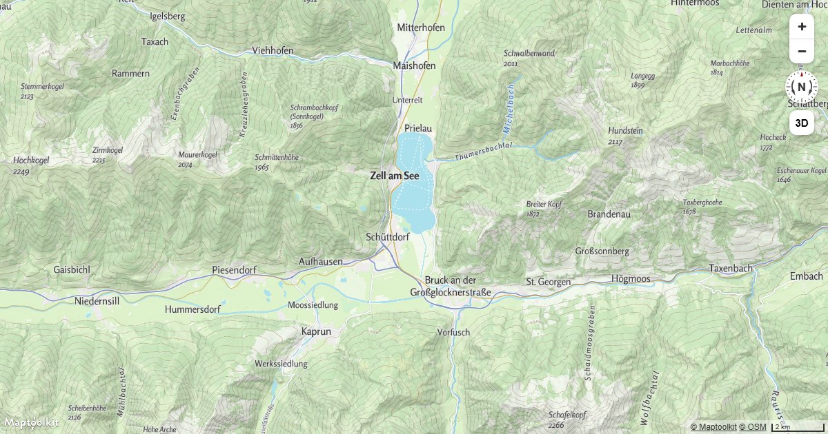
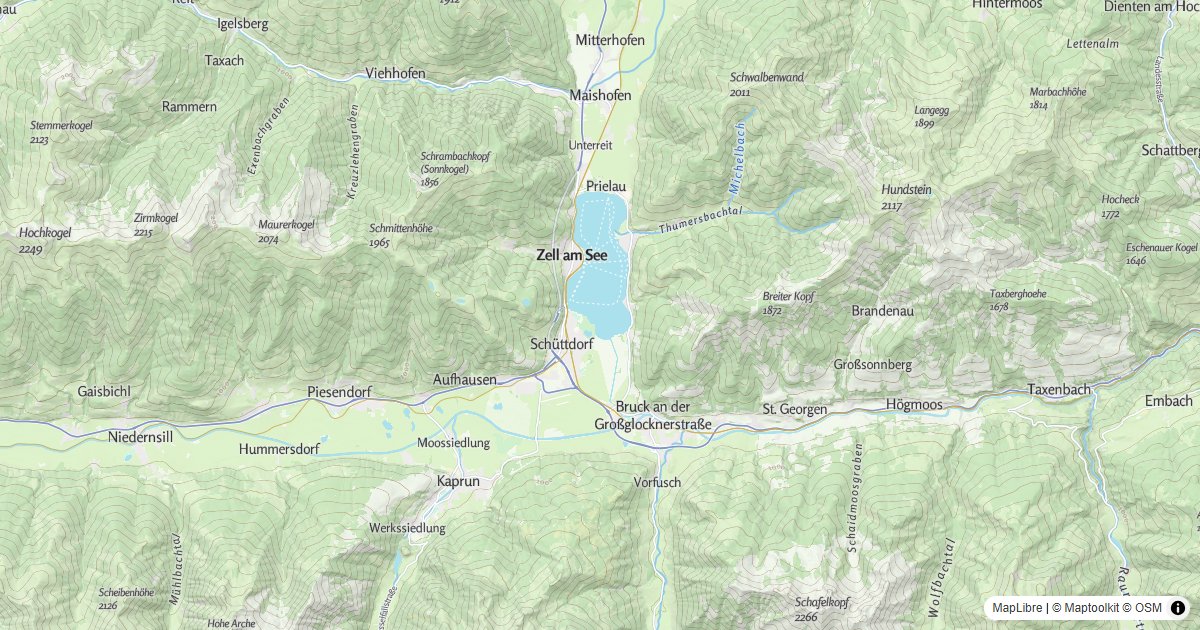
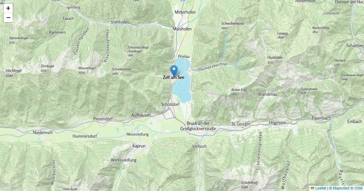
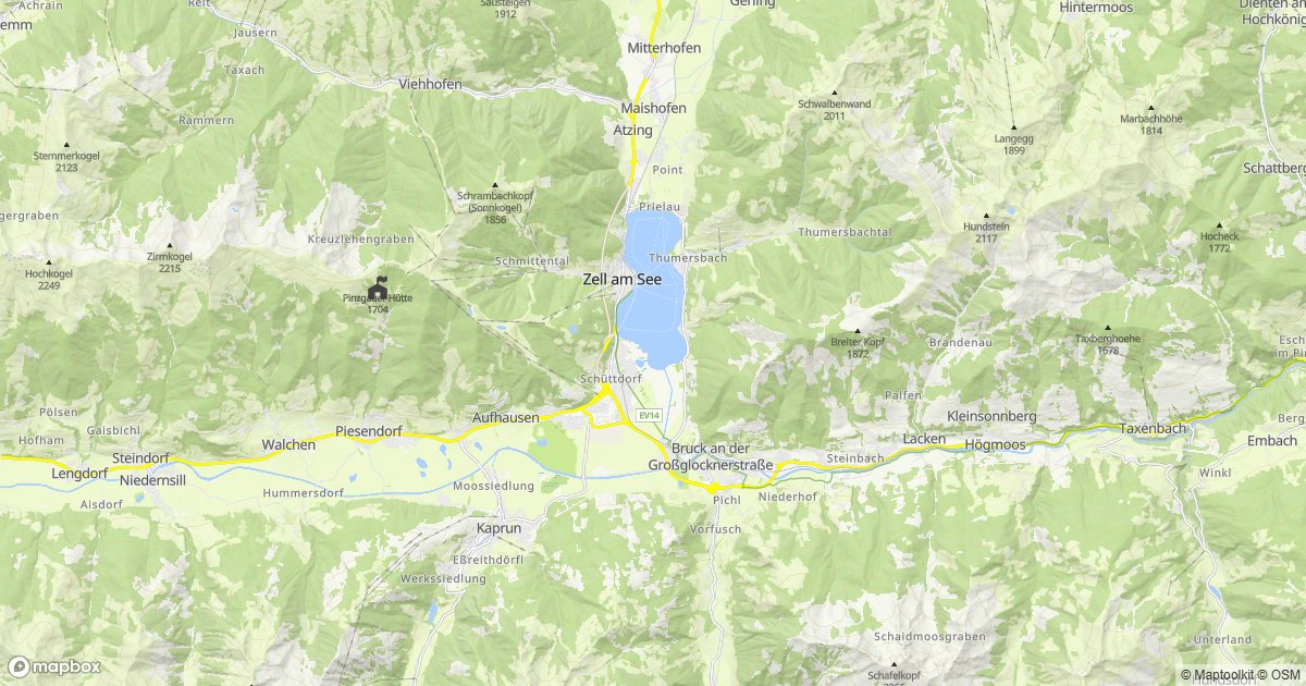
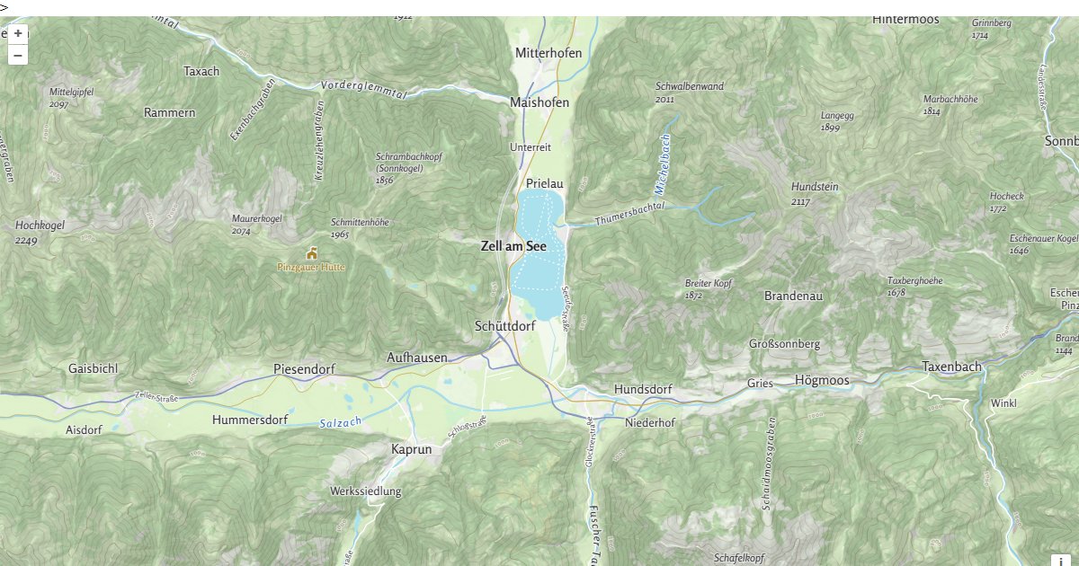
Working examples for this API, each with copyable source:
Errors
Errors return the HTTP status code with a plain-text message in the body.
| Status | Meaning |
|---|---|
403 | The API key is missing (Access denied!), not recognized (Api-key not found!), or has no access to this service (Api-key not authorized!). See First Steps. |
404 | Tile source not found. The style or tileset name in the URL does not exist. |
500 | Internal server error. |
A tile outside the source’s zoom range returns 404 with the body Tile not found, not an
empty tile. Treat a 404 as a zoom or URL problem rather than as a gap in the data, and check
the source’s zoom range in the table above before assuming the data is missing.
Rate limits
Limits are monthly request quotas tied to your plan rather than a per-second rate: the
service returns no RateLimit-* or Retry-After headers. Current allowances are on the
pricing page.
The free Basic plan has a hard limit, so requests are refused once it is reached. On Pro and Ultra, requests past the allowance are billed rather than refused. Enterprise plans use a flexible limit.
Tile requests are metered separately from API requests and at a lower rate, so a map-heavy application is budgeted differently from one making API calls.
Pricing
Self-service plans (Basic, Pro, and Ultra) are billed through RapidAPI; see RapidAPI for how to subscribe and authenticate. Plan limits and prices are listed on the Maptoolkit pricing page. Enterprise customers call the native hosts directly with a Maptoolkit API key.