Examples
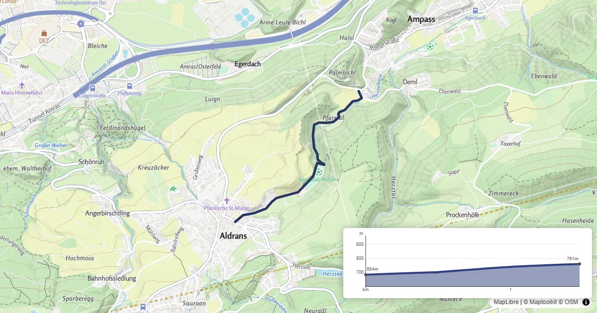
Elevation - Elevation Profile
Show a route on a MapLibre GL map with an interactive elevation profile.
Geocoding - Geocoder Search
Add a geocoder search control to a MapLibre GL map using the maplibre-gl-geocoder plugin.
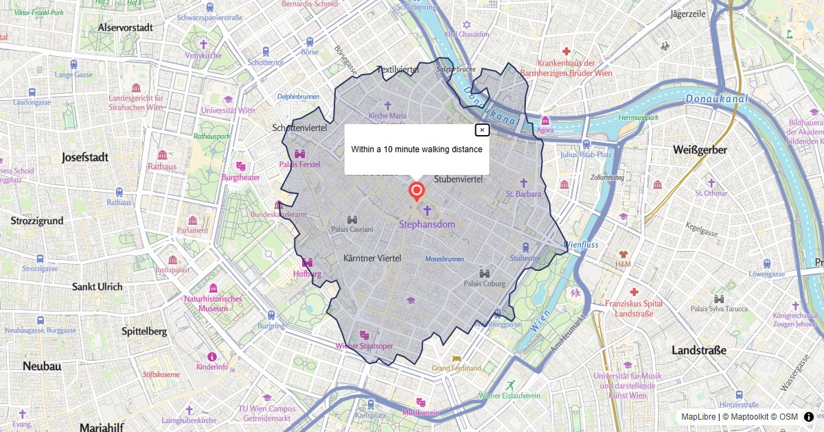
Isochrone - Walking Area
Fetch a walking isochrone and draw it as a filled polygon on a MapLibre GL map.
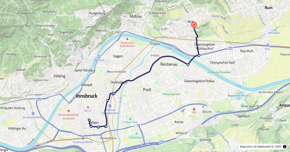
Routing - Route Display
Calculate a car route and draw it on a MapLibre GL map with turn-by-turn markers.
Terrain Tiles - 3D Terrain
Display a Maptoolkit terrain tile map with 3D terrain using MapLibre GL JS.
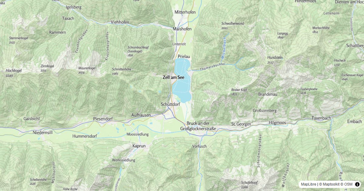
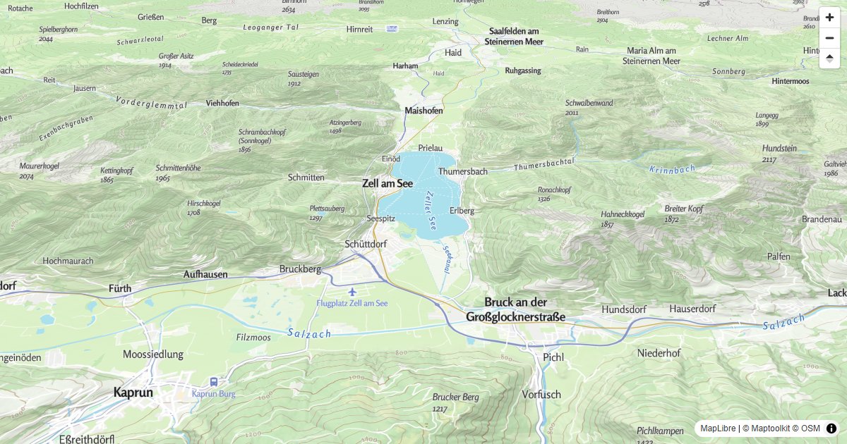
Vector Tiles - Basic Map
Display a Maptoolkit vector tile map using MapLibre GL JS.
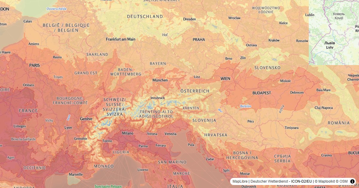
Weather - Temperature Layer
Add a temperature heat map layer from the Weather API to a MapLibre GL map.