Examples
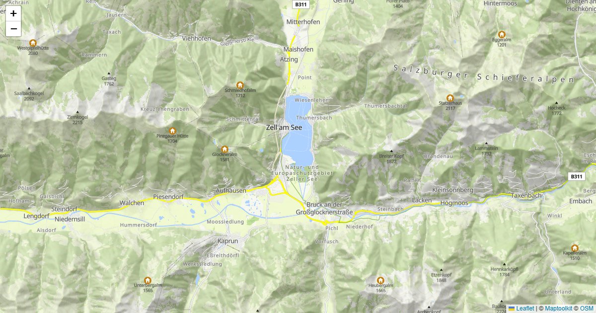
Raster Tiles - Basic Map
Display a Maptoolkit raster tile map using Leaflet.
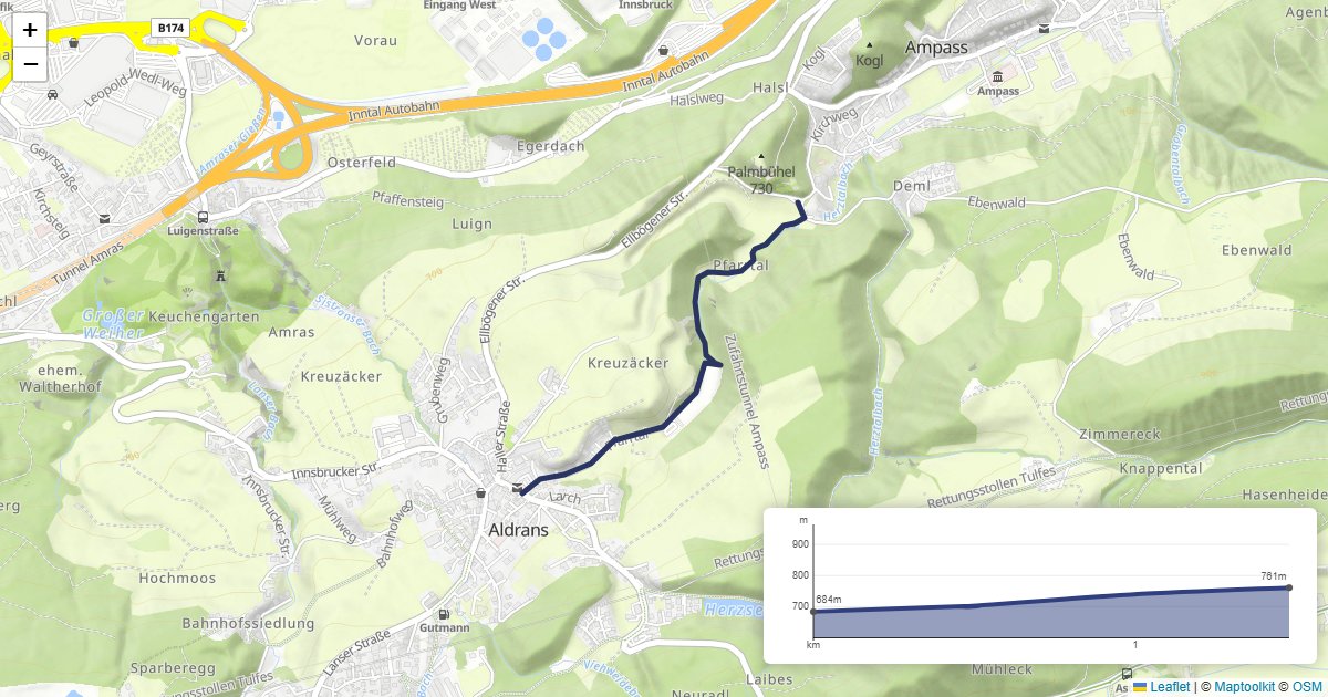
Elevation - Elevation Profile
Show a route on a Leaflet map with an interactive elevation profile.
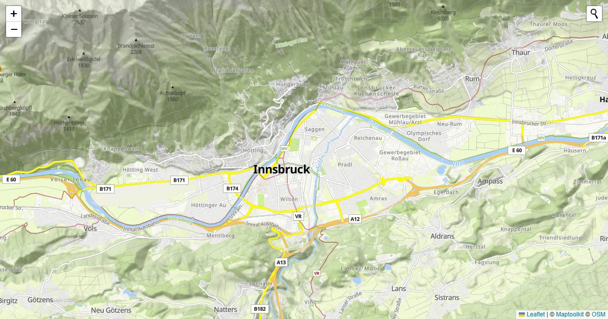
Geocoding - Geocoder Search
Add a geocoder search control to a Leaflet map using the leaflet-control-geocoder plugin.
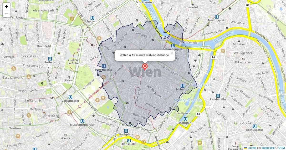
Isochrone - Walking Area
Fetch a walking isochrone and draw it as a polygon on a Leaflet map.
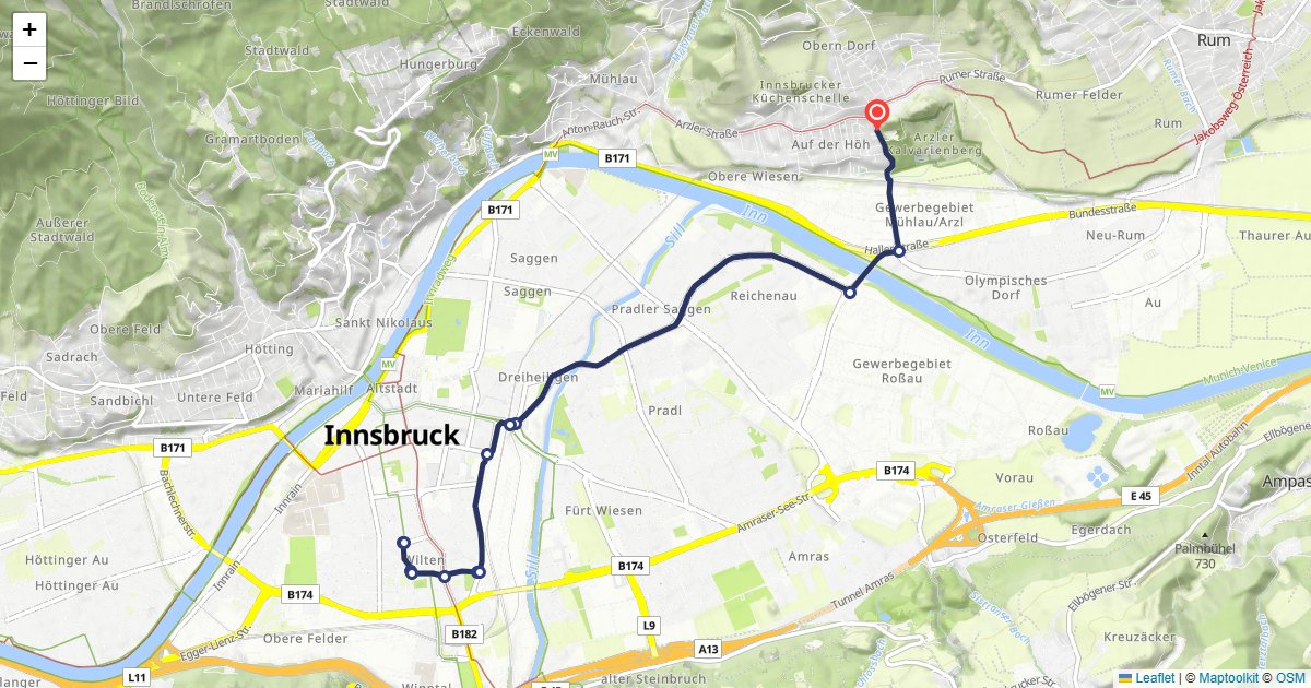
Routing - Route Display
Calculate a car route and draw it on a Leaflet map with turn-by-turn markers.