Examples
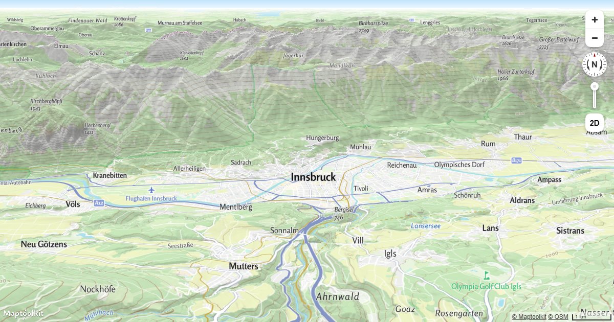
3D Terrain
Render real 3D terrain elevation on a Maptoolkit map using a raster-dem source and terrain exaggeration.
Add a Hillshade Layer
Add a hillshade layer to a Maptoolkit map to show terrain relief using shaded elevation data.
Add a Multidirectional Hillshade Layer
Render a multidirectional hillshade layer on a Maptoolkit map to reveal terrain detail from all directions.
Add Contour Lines
Display elevation contour lines on a Maptoolkit map using a raster-dem source and a line layer.
Adding 3D Models Using three.js on Terrain
Place three.js GLTF models on a Maptoolkit map that has 3D terrain enabled, keeping models anchored to the elevated surface.
Display a Hybrid Satellite Map with Terrain Elevation
Combine Maptoolkit raster satellite tiles with 3D terrain elevation for a photorealistic mountain map view.
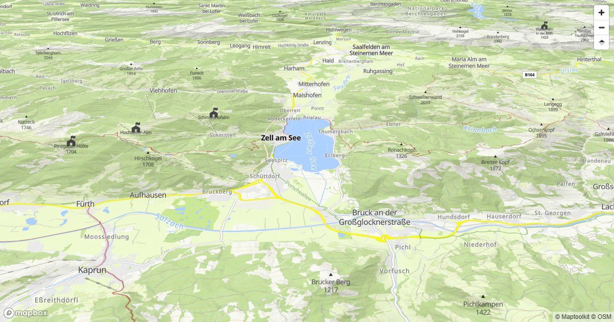
Mapbox GL JS
Display a Maptoolkit terrain tile map with 3D terrain using Mapbox GL JS.
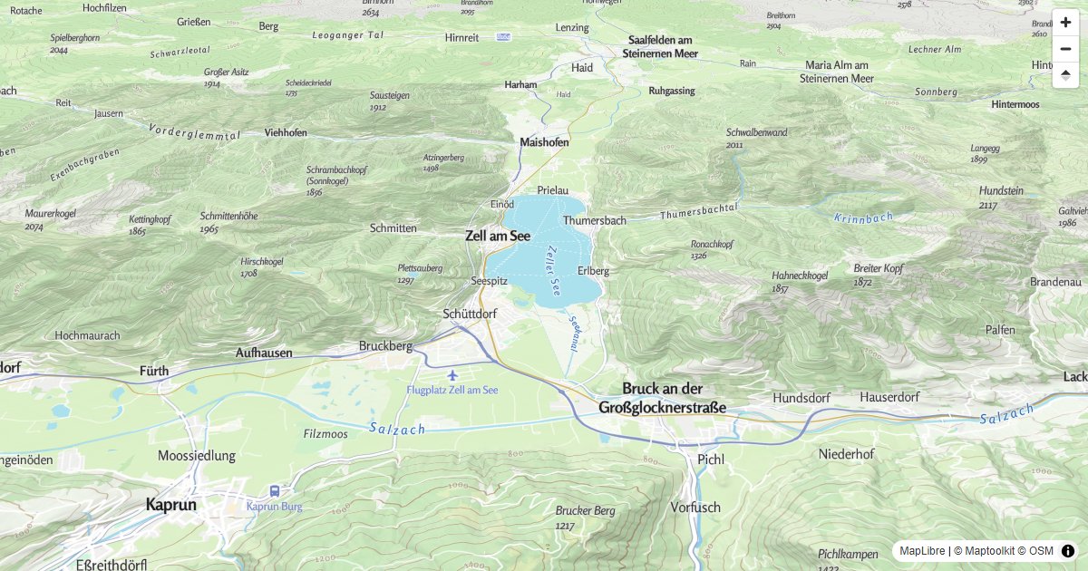
MapLibre GL JS
Display a Maptoolkit terrain tile map with 3D terrain using MapLibre GL JS.
Maptoolkit Maps JS
Add 3D terrain to a Maptoolkit Maps JS map using the built-in TerrainControl.