Routing API Examples
On this page
MapLibre GL JS
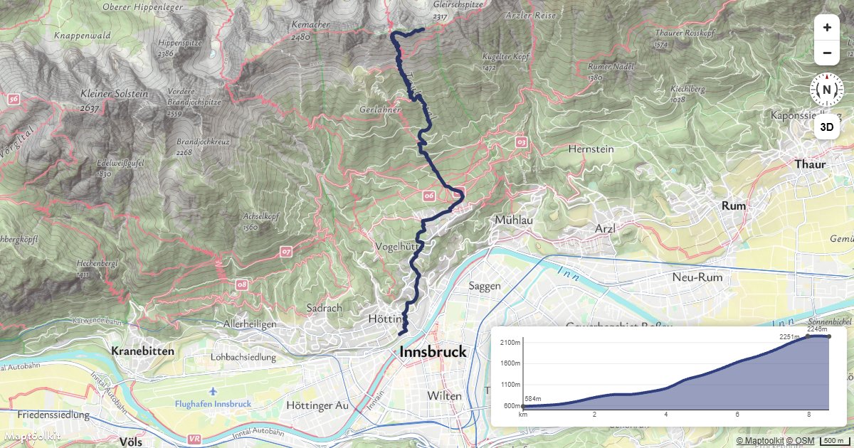
Route with Elevation Profile
Request a hiking route from the Routing API, add heights from the Elevation API, and show the climb with the Maptoolkit Elevation Control.
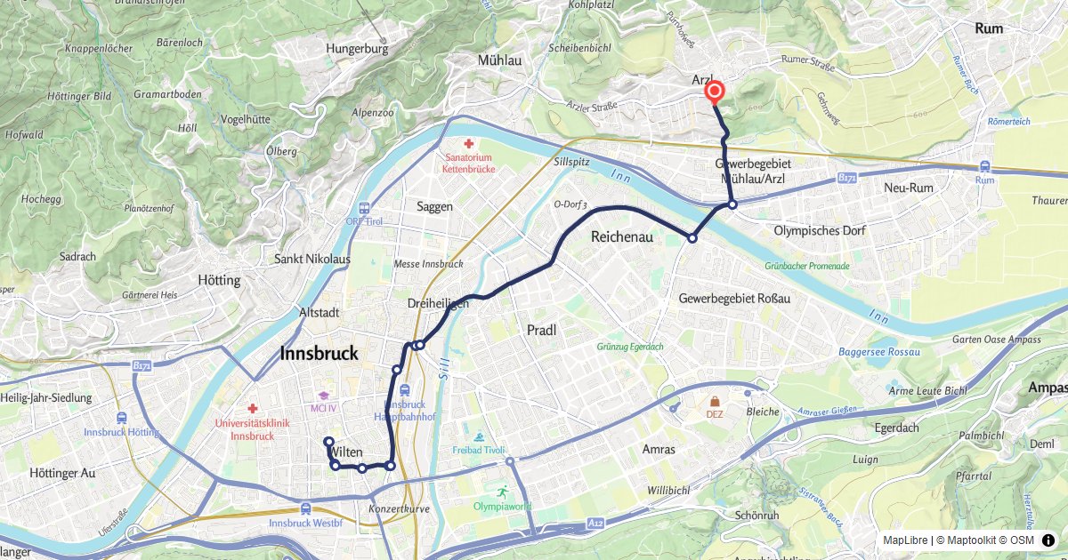
Route Display
Calculate a car route and draw it on a MapLibre GL map with turn-by-turn markers.
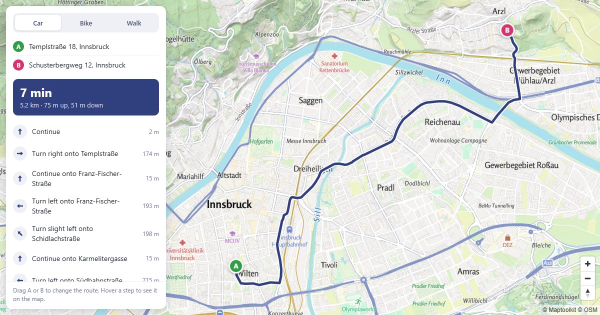
Route Planner
Drag A or B to reroute, and hover a step to see it on the map.
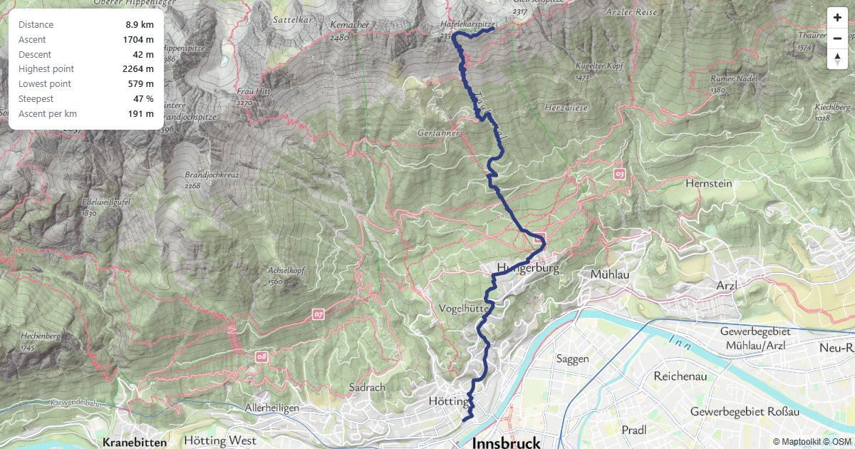
Climb Statistics
Ascent, descent and the steepest section of a hiking route.
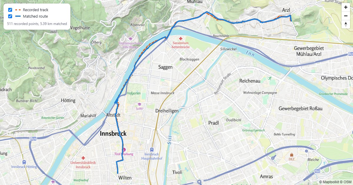
Snapped GPS Track
A recorded walk, snapped to the paths it was walked on.
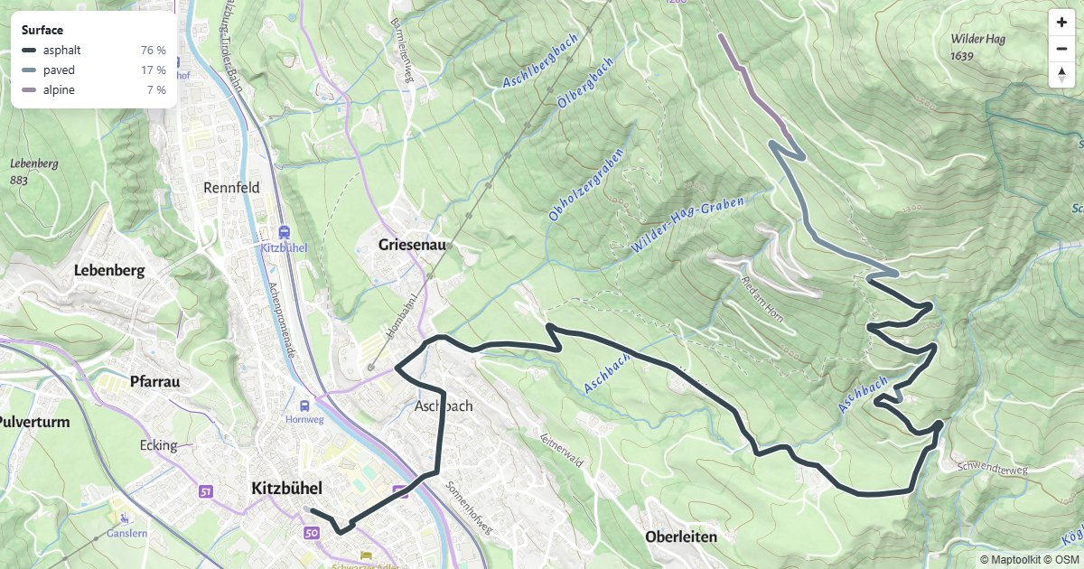
Route by Surface Type
A bike route colored by what it runs on, with a surface breakdown.
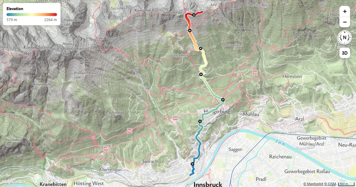
Route Colored by Elevation
Color a hiking route by height with a line-gradient, and add direction arrows along the line.
Isochrone Control
Drag a marker onto the map to show the area reachable within a travel time.
Leaflet
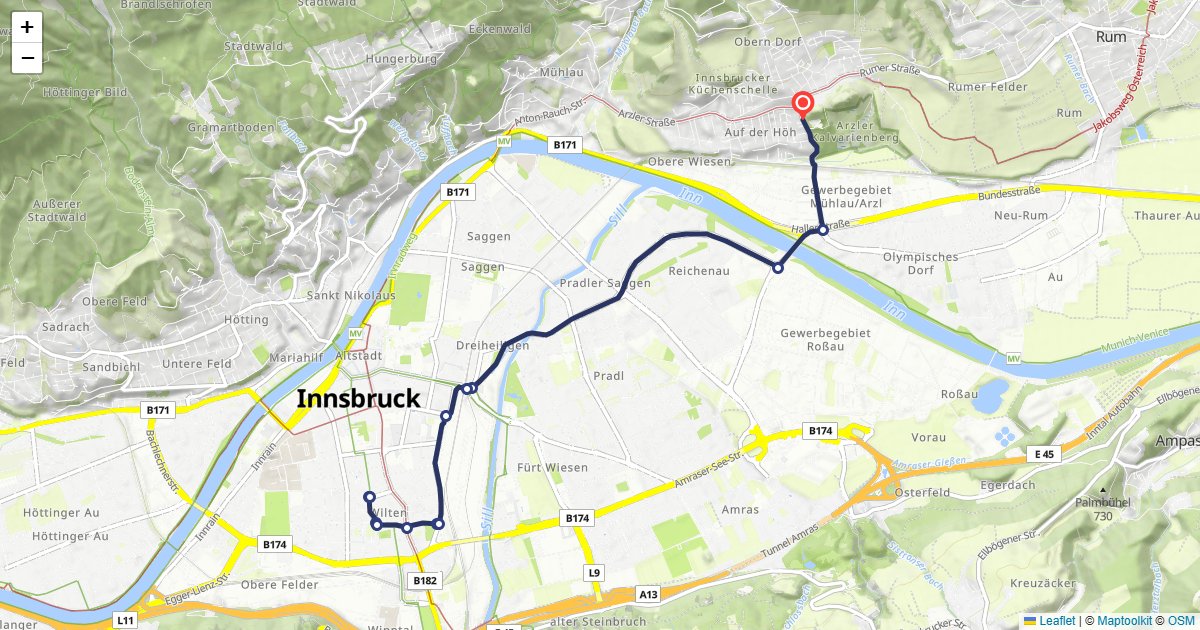
Route Display
Calculate a car route and draw it on a Leaflet map with turn-by-turn markers.
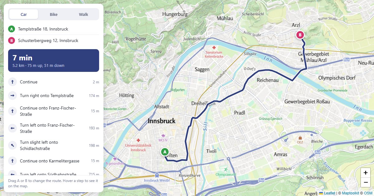
Route Planner
Drag A or B to reroute, and hover a step to see it on the map.
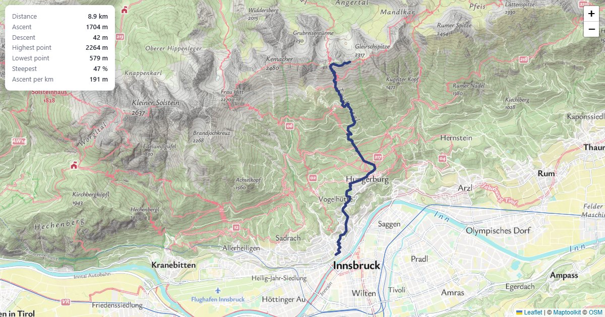
Climb Statistics
Ascent, descent and the steepest section of a hiking route.
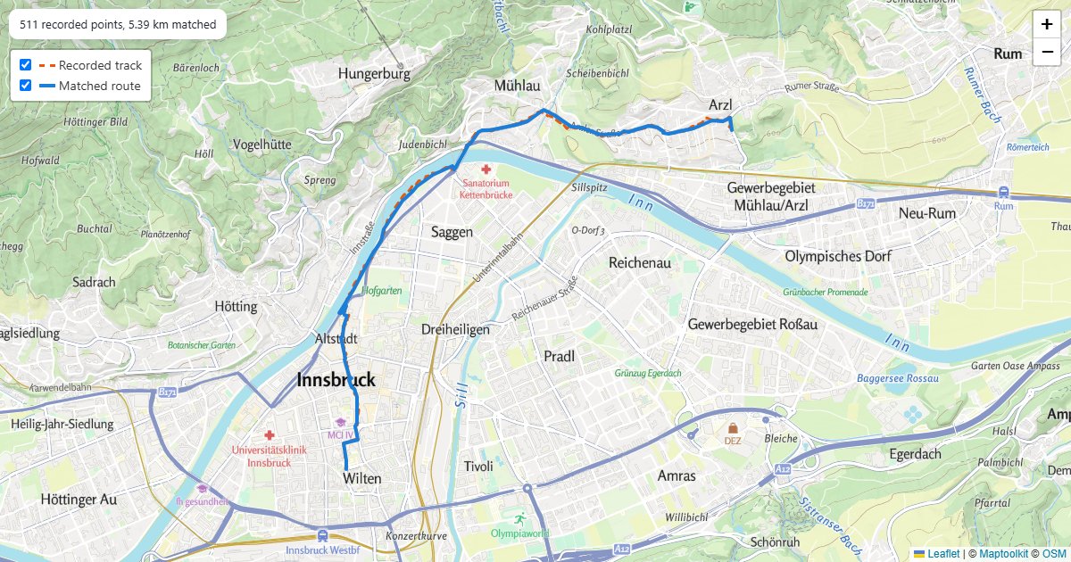
Snapped GPS Track
A recorded walk, snapped to the paths it was walked on.
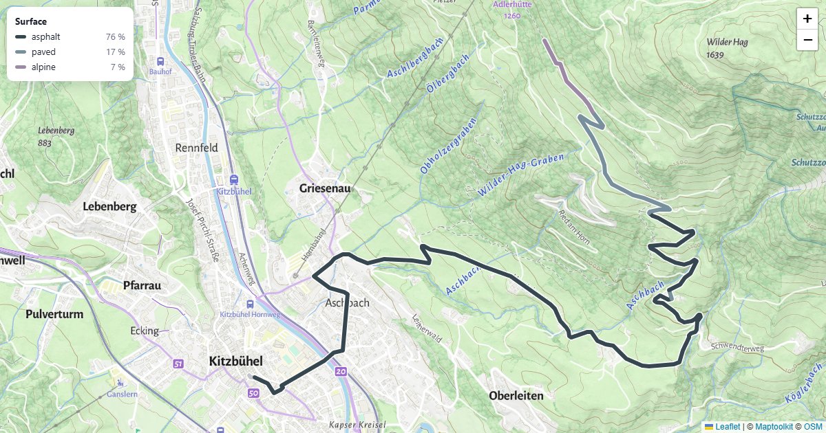
Route by Surface Type
A bike route colored by what it runs on, with a surface breakdown.
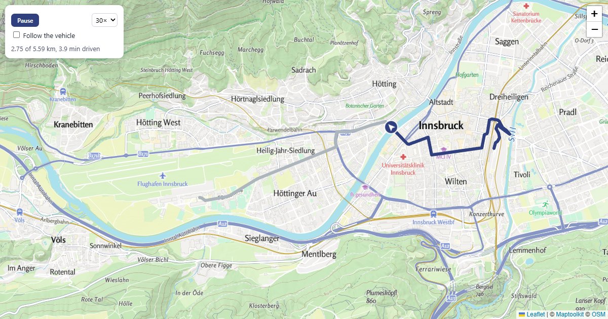
Animate a Vehicle
A car driving a real route, turned to its heading, with a trail.
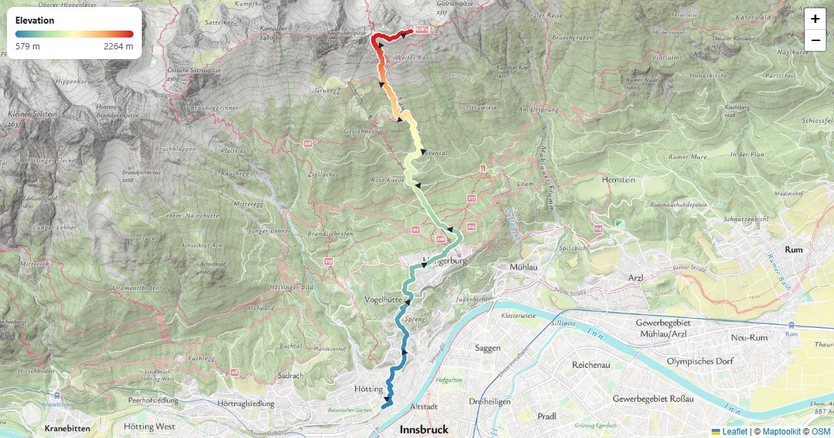
Route Colored by Elevation
A hiking route colored from valley to summit, with arrows for the direction.