Routing API
The Routing API calculates routes between two or more points. It supports car, bike, foot, and public transit, and returns turn-by-turn directions in JSON, GPX, or KML format.
Base URL
https://routing.maptoolkit.net/routeAuthentication
Add your API key as ?api_key=YOUR_API_KEY to every request. See Authentication for details.
Parameters
| Parameter | Type | Required | Description |
|---|---|---|---|
point | lat,lng | Yes (min. 2) | A waypoint. Add this parameter multiple times to define the route. Order matters. |
routeType | string | Yes | Vehicle type: car, bike, foot, or transit. Transit is currently available only in NRW, Germany. |
language | string | No | Language for turn instructions, as an ISO 639-1 code (e.g., en, de). |
weighting | string | No | Bike only. Route optimization: networks (default), shortest, or fastest. |
voice_instructions | 0 or 1 | No | Adds voice instruction text to each turn. Default: 0. |
finish_instruction | 0 or 1 | No | Adds a finish instruction at the end of the route. Default: 0. |
format | string | No | Response format: json (default), gpx, or kml. |
departure | date string | No | Departure time for transit routing. |
callback | string | No | Wraps the response in a JSONP callback function. |
Response
GET https://routing.maptoolkit.net/route?point=48.202596,16.369801&point=48.208373,16.370401&routeType=car&language=en&api_key=YOUR_API_KEYThis is a response to the HTTP GET request shown above:
{
  "info": {
    "copyrights": [
      "GraphHopper",
      "OpenStreetMap contributors"
    ],
    "took": 1,
    "road_data_timestamp": "2025-11-17T01:00:01Z"
  },
  "paths": [
    {
      "distance": 769.952,
      "weight": 168.289829,
      "time": 98995,
      "points_encoded": true,
      "bbox": [
        16.36885,
        48.202589,
        16.37053,
        48.20802
      ],
      "points": "eqeeHmf|bByD_BMCIVg@pDO`@Oj@INQ?a@OKMGIIMwAkAOC{@u@UYi@}@QU[SWIIASAG@GBIJQl@IH]nAIZy@m@uAw@k@YgBu@",
      "instructions": [
        {
          "distance": 117.483,
          "sign": 0,
          "interval": [
            0,
            2
          ],
          "text": "Continue onto Kärntner Straße",
          "time": 15105,
          "name": "Kärntner Straße",
          "distance_feet": 385,
          "distance_miles": 0.073000529193,
          "coordinate": [
            48.202589,
            16.369828
          ],
          "pushbike": false,
          "tags": {
            "highway": "street",
            "surface": "asphalt"
          },
          "speed": 27.999920556107252,
          "annotations": []
        },
        ...
      ],
      "ascend": 15.5657958984375,
      "descend": 6.759765625,
      "snapped_waypoints": "mf|bBeqeeHkC}`@",
      "ascend_feet": 51,
      "descend_feet": 22,
      "distance_feet": 2526,
      "distance_miles": 0.47842584419199996
    }
  ]
}
Response Fields
| Field | Description |
|---|---|
paths[0].distance | Total route distance in meters |
paths[0].time | Total route time in milliseconds |
paths[0].points | Encoded polyline of the full route |
paths[0].bbox | Bounding box: [minLon, minLat, maxLon, maxLat] |
paths[0].instructions[].text | Turn instruction text |
paths[0].instructions[].distance | Distance for this step in meters |
paths[0].instructions[].time | Duration for this step in milliseconds |
paths[0].instructions[].sign | Turn direction code (see table below) |
paths[0].tags.highway | Road type for this step |
paths[0].tags.surface | Surface type for this step |
Turn direction codes (sign)
| Value | Meaning |
|---|---|
-3 | Sharp left |
-2 | Left |
-1 | Slight left |
0 | Continue straight |
1 | Slight right |
2 | Right |
3 | Sharp right |
4 | Finish |
5 | Via point reached |
6 | Roundabout |
Highway types
motorway, primary, road, street, pedestrian, cycleway, path, hiking, mountain_hiking, otherSurface types
asphalt, paved, unpaved, natural, alpine, otherExamples
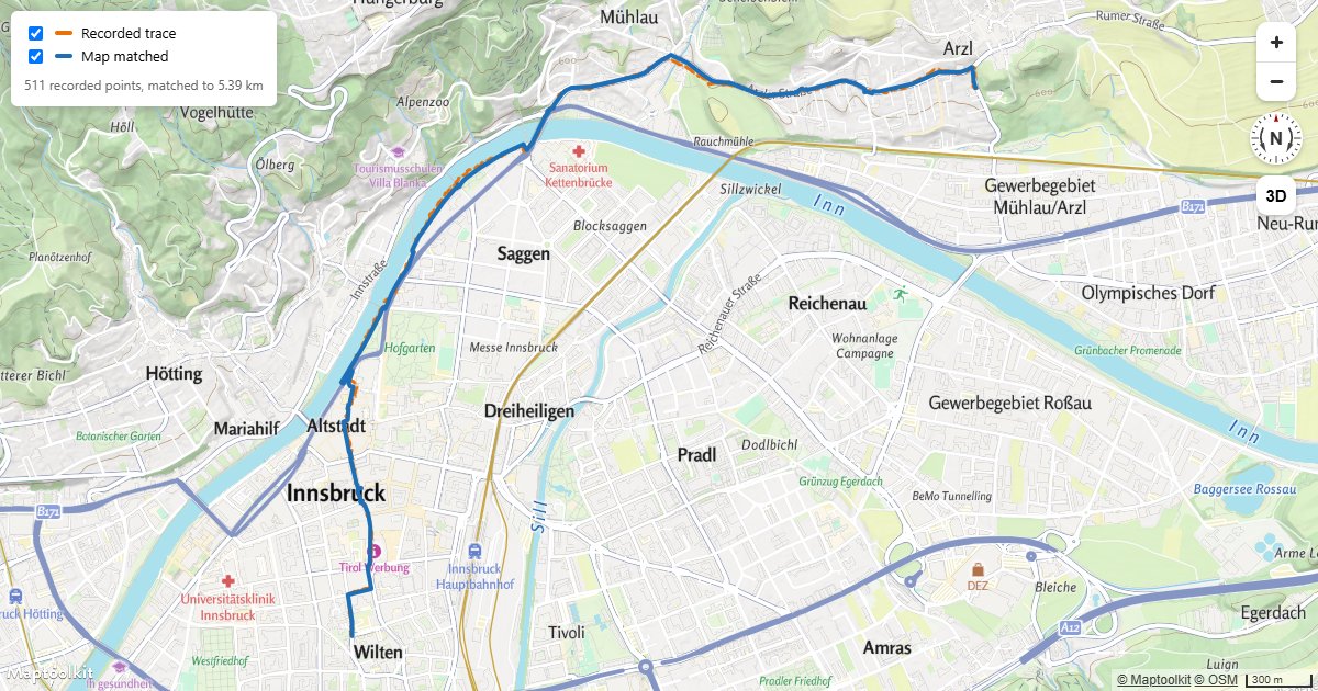
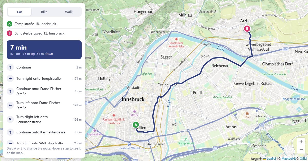
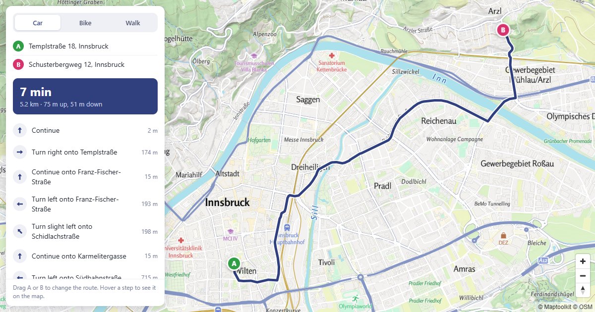
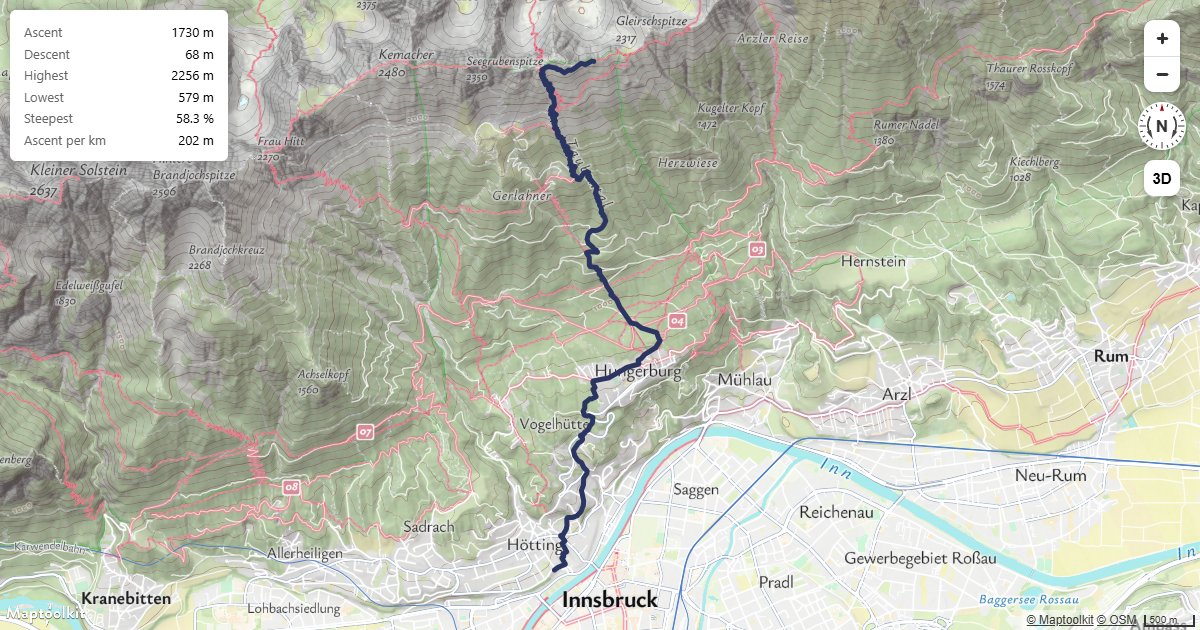
Working examples for this API, each with copyable source:
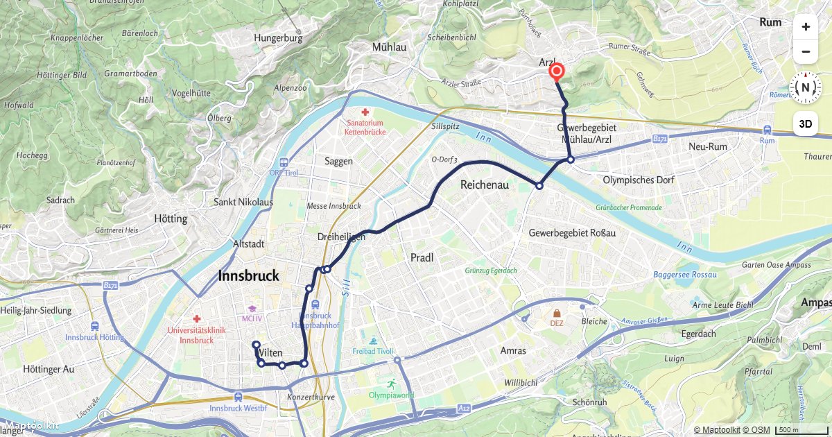
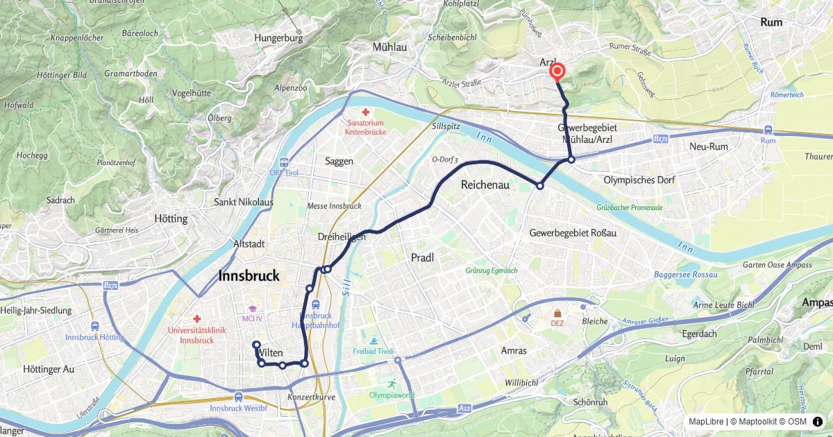
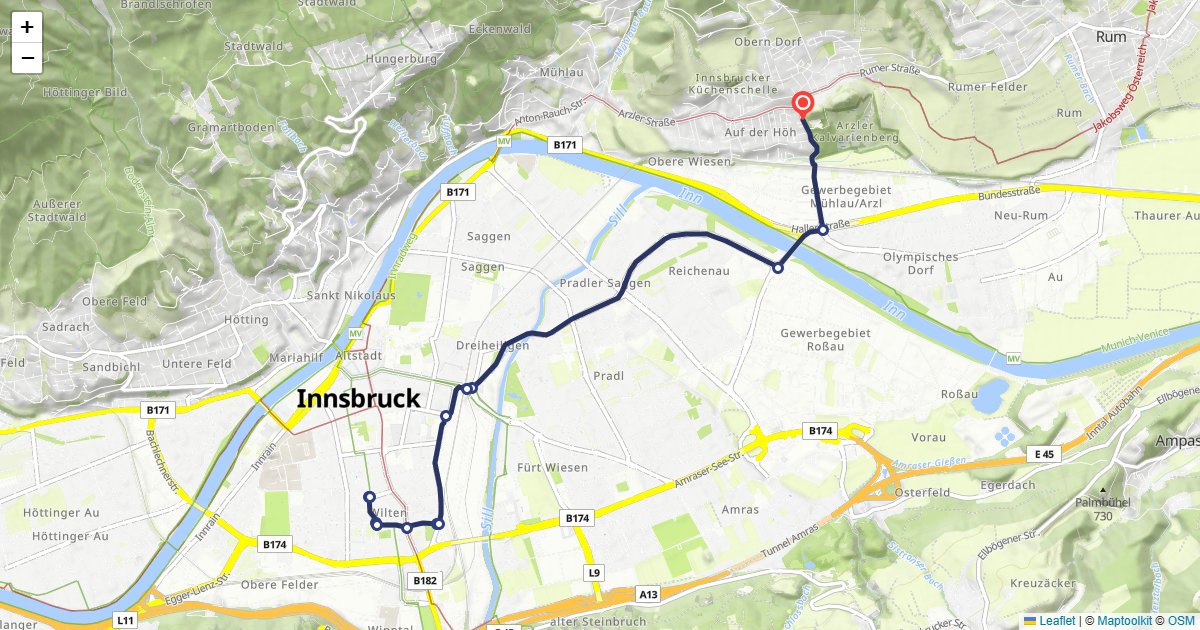
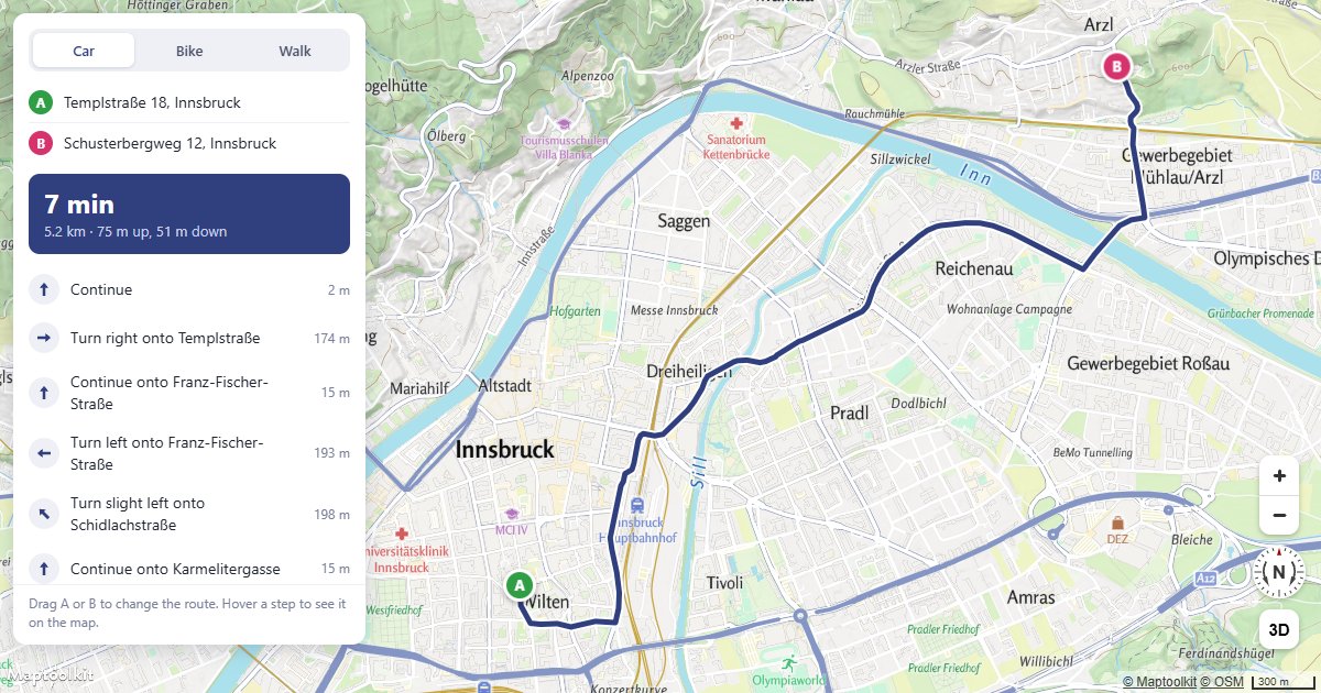
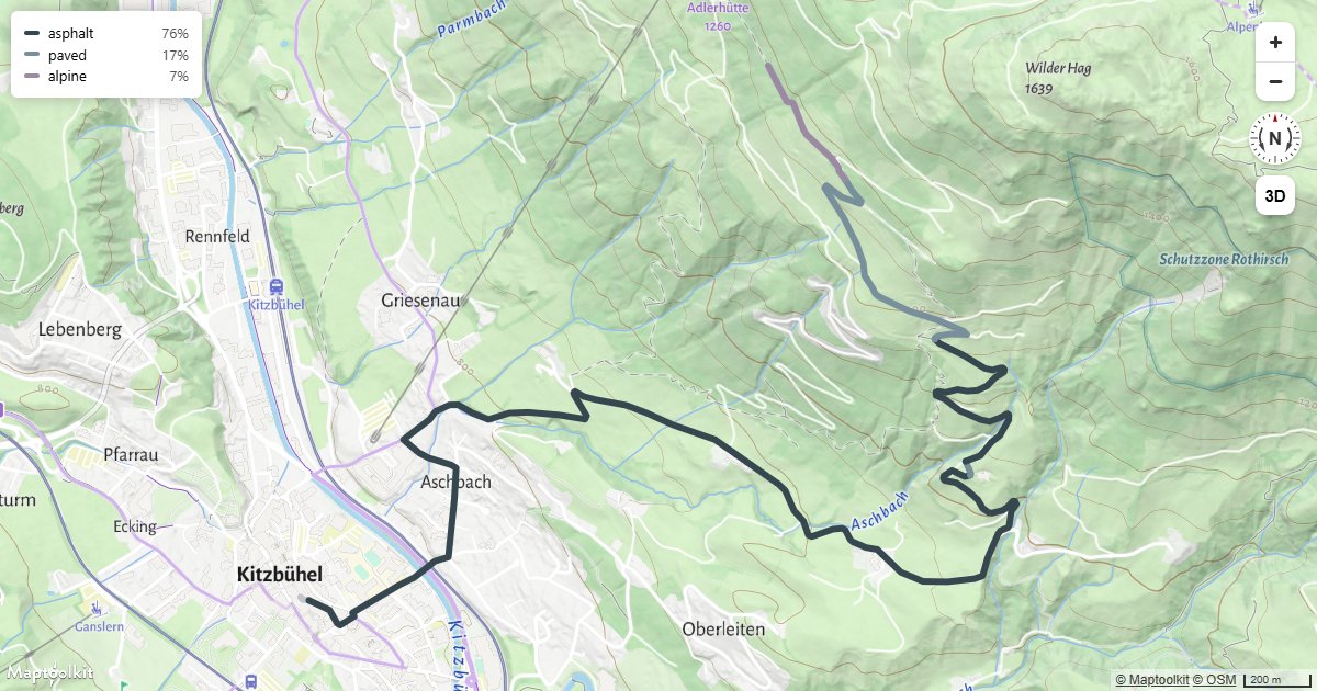
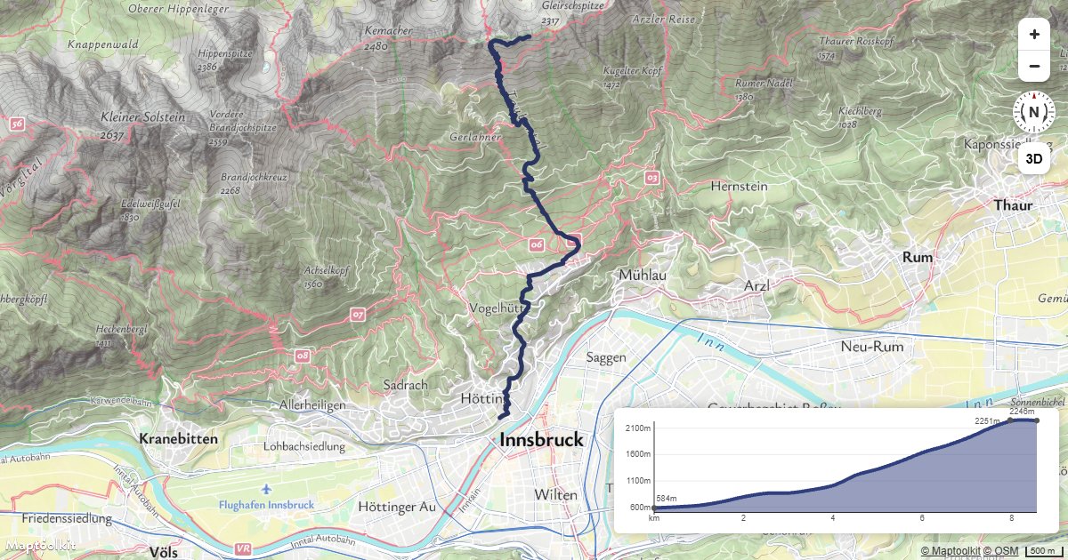
Errors
Errors return the HTTP status code with a plain-text message in the body.
| Status | Meaning |
|---|---|
403 | The API key is missing (Access denied!) or not recognized (Api-key not found!). See First Steps. |
400 | The request is malformed, or the routing engine rejected it. |
Common 400 messages
| Message | Cause |
|---|---|
There is exactly on start and one endpoint allowed! | Transit routing requires exactly two waypoints. |
Cannot parse departure time! | departure is not a valid date string. |
Cannot handle request: {message} | The transit routing engine returned an error. |
cannot parse custom_model: {message} | custom_model is not valid JSON. |
Errors from the upstream routing engine are forwarded as-is, so you may see messages that are not in this table.
Rate limits
Limits are monthly request quotas tied to your plan rather than a per-second rate: the
service returns no RateLimit-* or Retry-After headers. Current allowances are on the
pricing page.
The free Basic plan has a hard limit, so requests are refused once it is reached. On Pro and Ultra, requests past the allowance are billed rather than refused. Enterprise plans use a flexible limit.
Calls to this API count toward your plan’s API request allowance, which is the smaller of the two allowances.
Pricing
Self-service plans (Basic, Pro, and Ultra) are billed through RapidAPI; see RapidAPI for how to subscribe and authenticate. Plan limits and prices are listed on the Maptoolkit pricing page. Enterprise customers call the native hosts directly with a Maptoolkit API key.