Geocoding API
The Geocoding API converts between addresses and coordinates. Use forward geocoding to get coordinates for a search term, or reverse geocoding to get an address from a location.
Data comes from OpenStreetMap and additional regional sources.
Try it
Search for a place and see the raw response from the Geocoding API. Clear the box to enter your own term.
Base URL
https://geocoder.maptoolkit.netAuthentication
Add your API key as ?api_key=YOUR_API_KEY to every request. See Authentication for details.
Forward Geocoding
Search for an address or place name and get back coordinates.
Endpoint:
GET https://geocoder.maptoolkit.net/searchParameters:
| Parameter | Type | Required | Description |
|---|---|---|---|
q | string | Yes | The address or place name to search for. |
countrycodes | string | No | Limit results to specific countries. Use ISO 3166-1 alpha-2 codes, comma-separated (e.g., de,at). |
viewbox | minLng,minLat,maxLng,maxLat | No | Preferred area for results. |
language | string | No | Language for result names. Default: de. |
limit | number | No | Maximum number of results. Default: 10. |
polygon | 0 or 1 | No | Include polygon outlines in results. Default: 0. |
callback | string | No | Wrap the response in a JSONP callback. |
Search terms are matched left-to-right first, then right-to-left if that fails. Commas are optional but improve performance: pilkington avenue, birmingham works better than birmingham pilkington avenue.
Example:
GET https://geocoder.maptoolkit.net/search?q=Kirchengasse%2C%20Wien&language=en&api_key=YOUR_API_KEYResponse:
[
  {
    "display_name": "Kirchengasse, Neubau, Wien, 1070, Österreich",
    "lat": "48.2006928",
    "lon": "16.3522368",
    "boundingbox": ["48.1994", "48.2020", "16.3510", "16.3535"],
    "place_id": "23708113",
    "osm_type": "way",
    "osm_id": "12345678"
  }
]
Reverse Geocoding
Get an address from a latitude and longitude.
Endpoint:
GET https://geocoder.maptoolkit.net/reverseParameters:
| Parameter | Type | Required | Description |
|---|---|---|---|
lat | number | Yes | Latitude of the location. |
lon | number | Yes | Longitude of the location. |
language | string | No | Language for the result. Default: de. |
polygon | 0 or 1 | No | Include polygon outline in result. Default: 0. |
callback | string | No | Wrap the response in a JSONP callback. |
Example:
GET https://geocoder.maptoolkit.net/reverse?lat=48.2007&lon=16.3522&language=en&api_key=YOUR_API_KEYResponse:
{
  "display_name": "Kirchengasse 9, Neubau, Wien, 1070, Österreich",
  "lat": "48.2006928",
  "lon": "16.3522368",
  "place_id": "23708113",
  "osm_type": "node",
  "osm_id": "3016786133",
  "address": {
    "road": "Kirchengasse",
    "house_number": "9",
    "suburb": "Neubau",
    "city": "Wien",
    "state": "Wien",
    "postcode": "1070",
    "country": "Österreich",
    "country_code": "at"
  }
}
Examples
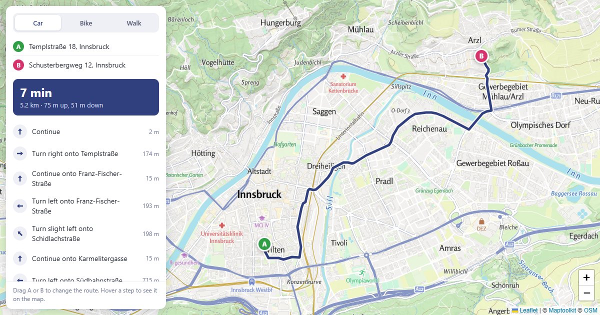
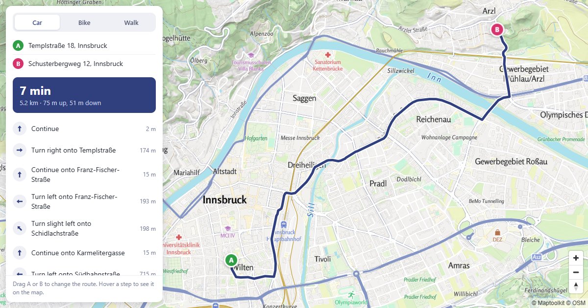
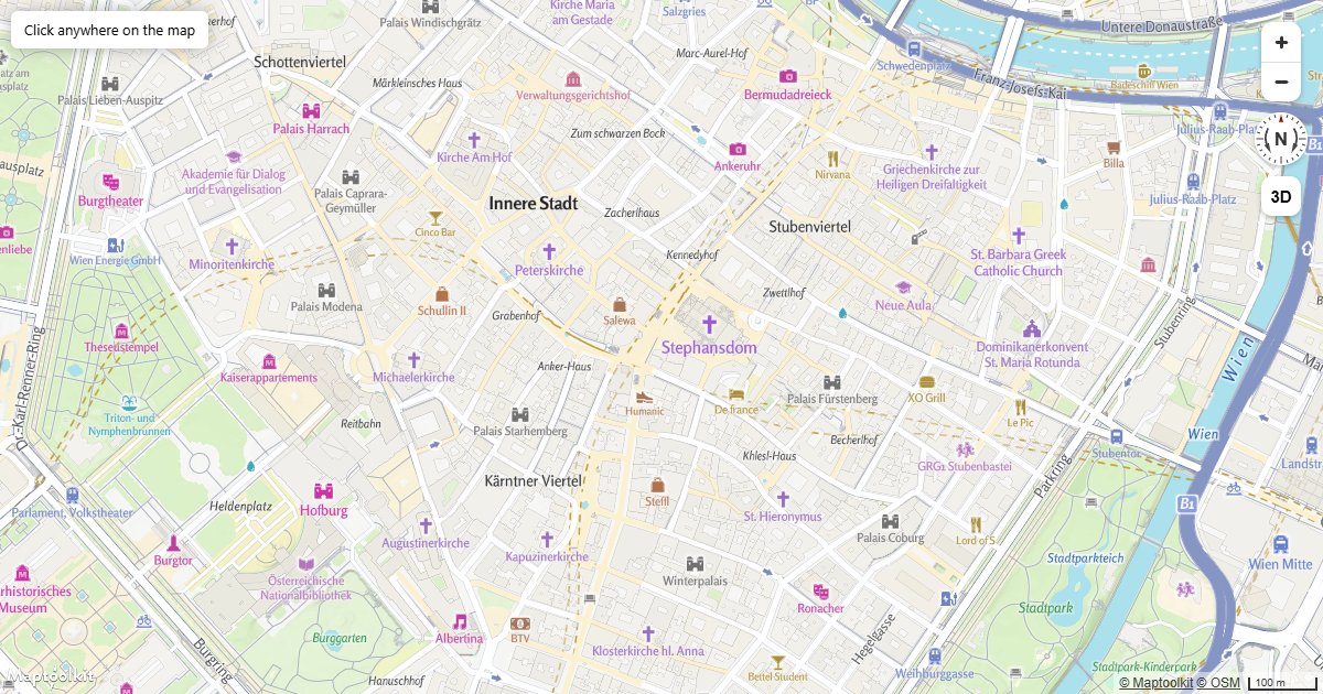
Working examples for this API, each with copyable source:
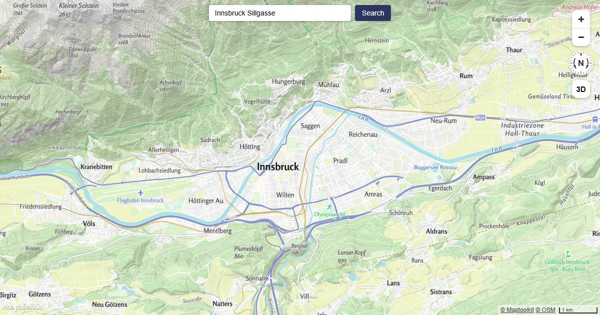
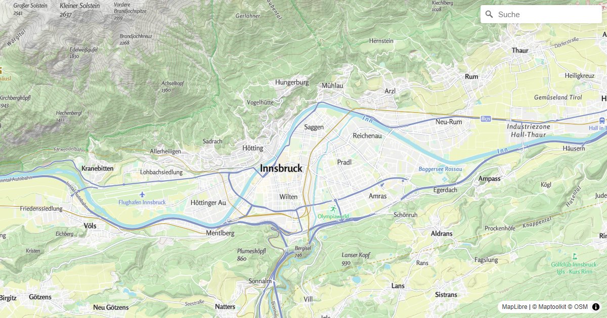
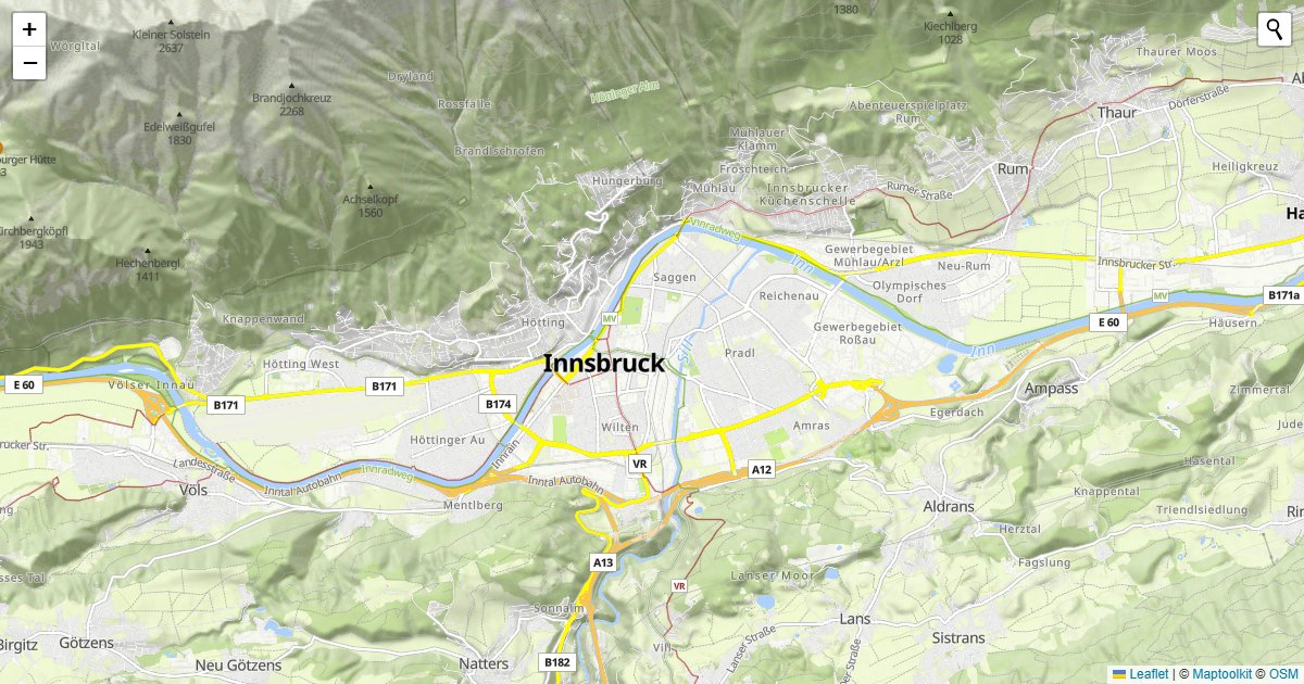
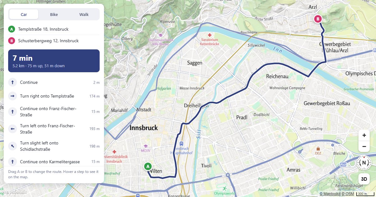
Errors
Errors return the HTTP status code with a plain-text message in the body.
| Status | Meaning |
|---|---|
403 | The API key is missing (Access denied!) or not recognized (Api-key not found!). See First Steps. |
400 | The request is malformed, or the upstream geocoder rejected it. |
The Geocoding API forwards upstream Nominatim errors and connection errors as-is, so a
400 body is often the upstream message rather than one Maptoolkit generates. Check the
body text before assuming the fault is in your parameters.
Rate limits
Limits are monthly request quotas tied to your plan rather than a per-second rate: the
service returns no RateLimit-* or Retry-After headers. Current allowances are on the
pricing page.
The free Basic plan has a hard limit, so requests are refused once it is reached. On Pro and Ultra, requests past the allowance are billed rather than refused. Enterprise plans use a flexible limit.
Calls to this API count toward your plan’s API request allowance, which is the smaller of the two allowances.
Pricing
Self-service plans (Basic, Pro, and Ultra) are billed through RapidAPI; see RapidAPI for how to subscribe and authenticate. Plan limits and prices are listed on the Maptoolkit pricing page. Enterprise customers call the native hosts directly with a Maptoolkit API key.